
Walk a Twin Falls Street Directory from One Address
Start with one complete Twin Falls address and preserve the spelling exactly as it appears on the source. The first pass should establish the parcel and its legal identity. Later passes can test title, permit, voter, and directory evidence. This order matters because a street name alone can point to more than one record, while a parcel number and legal description are far stronger links.
- Search the Twin Falls County Parcel Map by property address and select the matching suggestion.
- Read the parcel popup for parcel number, owner output, situs address, mailing address, legal-description lines, and deed references.
- Use the deed references and legal description in a request to the Twin Falls County Clerk / Auditor / Recorder.
- Check public voter-file evidence only within Idaho's permitted scope, accounting for protected records.
- For an older occupant, move to a dated reverse or criss-cross directory and transcribe the page.
The result is a street-by-street chain, not a single master resident list. Current parcel ownership may be held by a person or entity, the mailing address may be elsewhere, and a voter record covers only a registered voter. A sound Twin Falls street directory keeps those distinctions visible.
Put a Twin Falls Street Address into the County Parcel Map
The Twin Falls County Parcel Map is the main public address entry point. It is an Idaho State Tax Commission ArcGIS Experience linked by the County Assessor. The map searches a property address or parcel number. It does not offer a verified owner-name search, and its owner field appears only after a parcel is selected.
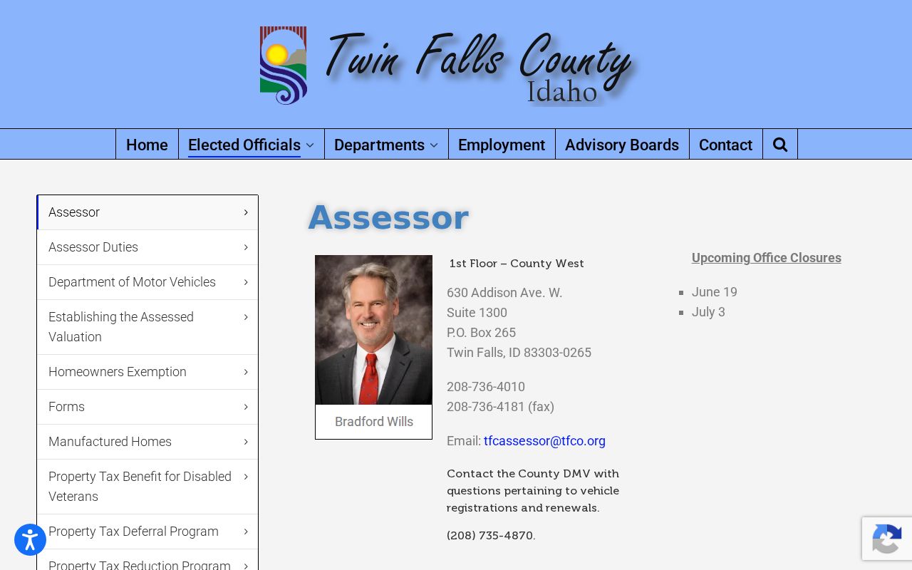
The Twin Falls County Assessor property page supplies the official route into the parcel resources.
| Map control | Input or action | What happens |
|---|---|---|
| Parcels / property address | Street address text | Searches the property-address field, exact match off, with up to six suggestions |
| Find by parcel number | Parcel ID text | Searches the parcel identifier and can select the first result |
| Map layers | Choose visible data | Adds parcels, wells, water rights, soils, flood hazard, PLSS, imagery, and districts |
| Parcel selection | Click a map parcel | Opens the record popup, including owner and mailing outputs |
| Map tools | Select, measure, locate, or change basemap | Helps compare lots and nearby parcel shapes |
Searches run across the whole map rather than only the current view. The six-suggestion limit means a broad street name may not expose every parcel at once. Work from known street numbers or click parcels one at a time.
Read Twin Falls Situs, Mailing, and Legal Lines Apart
A selected parcel popup can show the parcel ID, owner name, property address and ZIP, mailing address, as many as five legal-description lines, deed references, acreage, land and improvement values, and city, school, fire, highway, and tax-code districts. These fields support a Twin Falls street directory, but they do not all describe the same thing.
- Parcel
- A mapped unit of land identified by the county parcel number.
- Situs address
- The physical address assigned to the property, which may differ from the owner's mail destination.
- Plat
- A recorded map that identifies a subdivision, blocks, lots, streets, and boundaries.
- Criss-cross directory
- A dated directory arranged by address or telephone rather than only by surname.
The mailing address is a lead, not proof of occupancy. A legal description is often the best bridge when a street label changes or an old document has no modern number. The app says its data are continually updated, supplied as is, and not guaranteed for design or construction use.
Which Twin Falls Records Can Be Followed by Street?
No record set provides a complete roster of every person at every Twin Falls address. The best street directory is layered: use the parcel map for current land identity, recorded instruments for title, permits for work at the site, voter material for the limited public registration trail, and dated directories for older occupants.
| Address-keyed source | Custodian or route | Useful evidence | Access |
|---|---|---|---|
| Parcel map | County Assessor / Idaho Tax Commission | Parcel ID, owner output, situs and mailing address, legal lines, deed references | Free online map |
| Recorded instruments | County Clerk / Auditor / Recorder | Deed parties, instrument details, legal description, title chain | Office or focused request; no county web index identified |
| Building permits | City of Twin Falls | Case, location, type, status, dates, and selected project fields | Dashboard and monthly PDF archive |
| Voter file | Idaho Secretary of State / County Elections | Limited public registration fields and geographic scope | Formal request under stated restrictions and fees |
| Historical directories | Libraries and historical repositories | Dated names, addresses, phones, and household clues | Volumes, microfilm, or repository service |
Keep the source date beside every result. The parcel layer is current but has no historical coverage date stated, while the permit dashboard exposes recent year tabs. An old directory is evidence for its printed year only.
See Twin Falls Permit Activity Along a Street
The city's Building Permit Dashboard adds a modern administrative layer to a by-address search. The inspected dashboard has year tabs for 2024, 2025, and 2026 plus a last-month view. A record can include a case number, location, type, subtype, status, and dates. Monthly PDF lists can add owner, contractor, valuation, and fee fields.
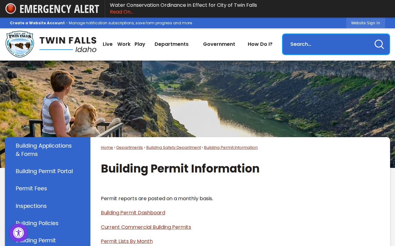
The Twin Falls building permit information page explains the city source and report routes.
The image below shows the address-keyed dashboard source used for this Twin Falls street directory.
Permit data works best as a dated cross-check. A project or owner field may help explain a change seen in the parcel record, while status and dates place work in time. Do not infer a household from a permit case.
Carry a Twin Falls Street Search into the Deed Record
The Twin Falls County Clerk serves as clerk, auditor, and recorder, but reviewed county pages do not expose a current public grantor-grantee search. Pull the popup's deed-reference fields and full legal description, then ask the proper custodian for an instrument or a focused date range. A signed and dated county public-record request must reach the correct custodian before its response clock begins.
For older work, Idaho, Twin Falls County Records, 1906–1988 includes direct and reverse deed indexes for 1915 through 1974 and deed images listed for 1906 through 1941. Images are published as available, and access or sign-in can vary. Current and certified copies remain an office route.
Insider key. Include the parcel ID, legal-description lines, deed reference, instrument type, date span, address, and desired copy type in the request.
This is more precise than asking the recorder to search an entire street. The county fee page supports copy and recording rules, but it is not evidence that an online deed index exists.
Connect Twin Falls Original Townsite Blocks to Modern Parcels
Twin Falls began with a 1904 original townsite plat, followed by incorporation in 1905 and rapid growth tied to irrigation, Milner Dam, and the railroad. Historical research describes the early townsite as 164 blocks. Modern city resources now include subdivision, future-land-use, data-hub, and street-maintenance maps. The task is to bridge those systems without assuming the address text stayed fixed.
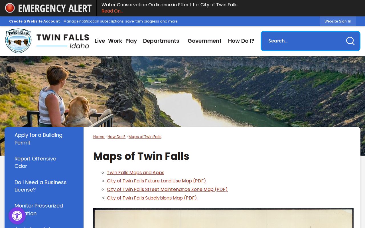
The Maps of Twin Falls page gathers subdivision, land-use, and street context.
Use the old lot and block description, subdivision name, plat, and map position as anchors. Then compare them with the modern parcel polygon and legal-description lines. No verified citywide renumbering crosswalk was located, so a mismatch should be documented, not repaired by guesswork. This map-to-parcel method also helps when an old clipping names a corner or block but omits a full street number.
Twin Falls Address Numbers Are Civic Records Too
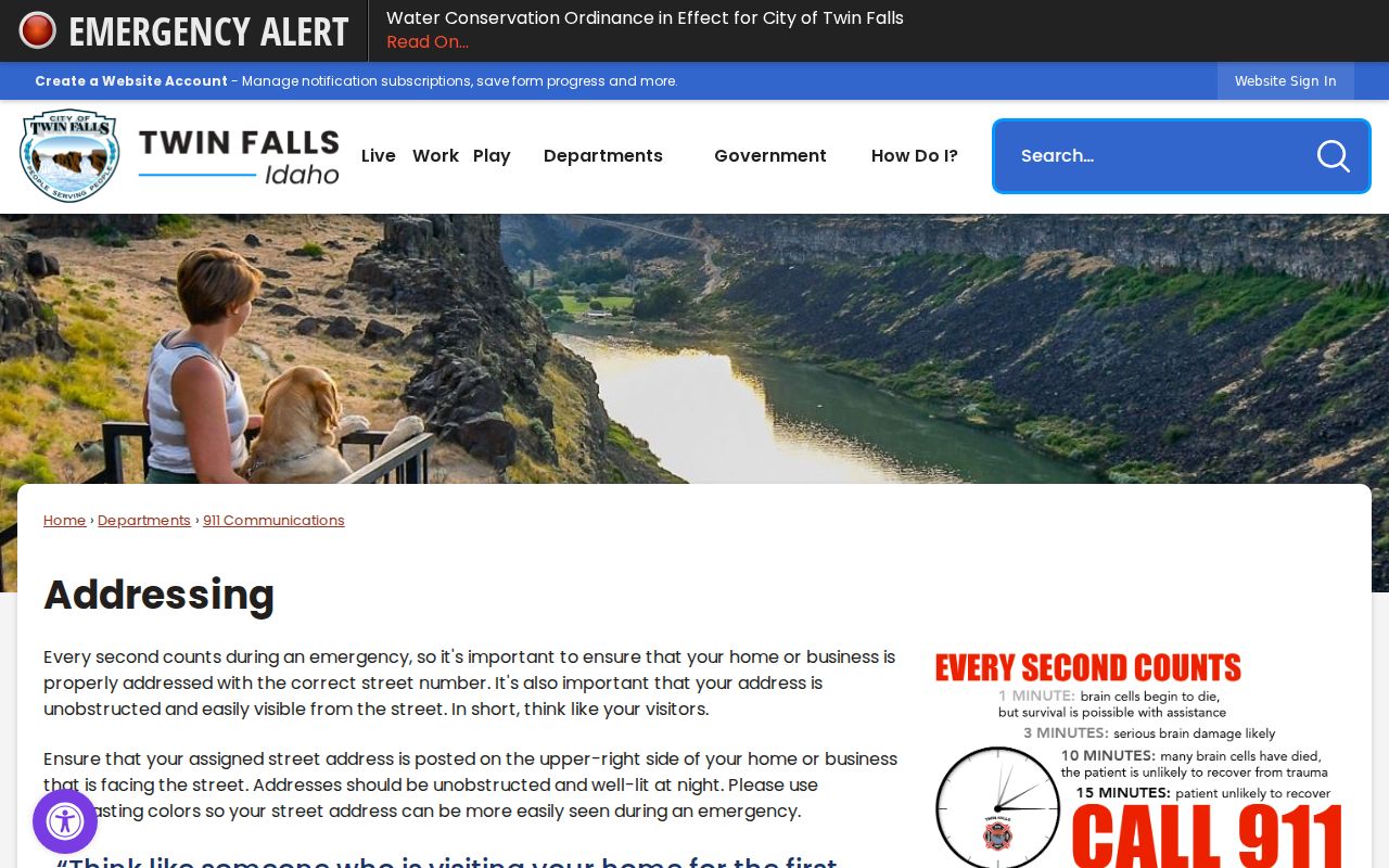
Twin Falls 911 Communications explains that address numbers must be visible and legible from the street. Posted numerals generally range from four to twelve inches based on setback and display conditions, and larger or multi-building sites need coordinated numbering. That guidance is about reliable emergency location, yet it also explains why an assigned site address can be distinct from a mailing address.
The city 911 addressing guidance shows why visible, assigned numbers matter.
The city maps page reports streets, alleys, rights-of-way, and 660 lane-miles in municipal maintenance context. A road may appear in city operations, county parcels, postal records, and old directories for different purposes. Search each system using the form it expects. Twin Falls offices also show a postal quirk: physical offices use 83301, while city and county post-office boxes use 83303.
Add Idaho Voter Evidence to a Twin Falls Block with Care
Idaho's public voter-file process is not a casual street export. The state request form provides report choices, media and geographic scope, date ranges, fees, and a use certification. Public voter information is limited, ballots are never exposed, and full dates of birth are not public roll fields. The Address Confidentiality Program can keep an eligible participant's true address out of the public-facing trail.
Use voter evidence only to test a specific, lawful question after the parcel and address are stable. A missing voter entry does not mean a home is empty. The person may not be registered, may have moved, may be protected, or may not fall within the requested file. Ownership and registration remain separate facts.
Move a Twin Falls Street Directory Back to 1970
The Library of Congress address-directory guide identifies a 1970 Twin Falls criss-cross directory. Because this format runs from address to occupant, it is a strong bridge between an old street number and a named person. It is historical evidence, not a current roll. Record the publisher, year, page, street heading, exact number, and every abbreviation before drawing a conclusion.
The Twin Falls Public Library Idaho Room is the local path for Polk's City Directory, newspaper microfilm, photos, oral histories, and address research. Its research service states a $5 per-item fee. University of Idaho and Idaho State Historical Society holdings fill selected years, while gaps may require newspapers, census schedules, or deeds. The full shelf is detailed in the Twin Falls city directory guide.
Limits of a Twin Falls Street Directory
A street directory cannot name every household member. The public parcel popup shows an owner output, not a resident roster. A mailing field is not proof that the owner lives at the property. Permit records describe work, voter records omit nonvoters and protected entries, and a printed directory freezes one publisher's data at one point in time. Utility customer data and motor-vehicle address data are not general public street lists.
Lawful use. Use Twin Falls address records for family history, property research, civic questions, or other lawful personal purposes, never to stalk, harass, threaten, or track a person.
Confirm key findings with the custodian that made the record. Where a portal is silent, follow the fallback chain: parcel clues, focused clerk request, library volume, newspaper, and historical repository. The most honest Twin Falls street directory marks every gap and never turns a clue into a claim.