
Twin Falls Neighbor Record Sources
The immediate block appears in several public systems, but each shows a different layer. Twin Falls County's parcel map is the best first view because it displays lot boundaries and lets a user inspect the owner and legal fields for one parcel at a time. City maps add streets and subdivisions. Cityworks adds permit activity at a known address. Voter data is available only through approved scopes and use rules. Old criss-cross directories can show who was listed on the block in a past year.
| Source | What It Shows About a Block | Access |
|---|---|---|
| County Parcel Map | Parcel lines, IDs, owner output, mailing and situs fields, legal and deed references | Free; click each parcel, no resident export |
| City street and subdivision maps | Named streets, original townsite, subdivisions, and city context | Public maps and data hub; no household data |
| Cityworks permits | Addressed cases, project labels, status, type, and dates | Public dashboard for city permit records |
| Idaho voter file | Permitted roll fields and participation flags within an approved scope | State or county request; protected fields omitted |
| 1970 criss-cross directory | A past address-to-occupant view of streets and blocks | Historical collection; not a current roll |
| Library and newspapers | Historic photos, notices, obituaries, and address stories | Online, microfilm, or defined research request |
An owner's mailing address can be off the block. A voter address may be protected. A permit can name an owner or contractor without identifying an occupant. Keep those roles separate when looking up your neighbors. Public records also omit visitors, most household members, delivery recipients, and anyone who does not appear in the selected record set.
Map Twin Falls Neighbor Parcels
The Twin Falls County Parcel Map searches a property address or parcel number. It does not accept an owner name as a verified input. After selecting a parcel, the popup can display owner, mailing address, situs address, legal-description lines, deed references, value, acreage, categories, districts, and coordinates. The map also offers parcels, PLSS, flood, wells, water rights, soils, imagery, taxing districts, measure, selection, and locate tools.
- Search the target address or parcel number. Save the parcel ID and legal lines from its popup.
- Zoom until lot boundaries are clear. Check whether each shared edge is a lot line, alley, road, water feature, or district edge.
- Click every parcel that directly borders the target, then inspect parcels across the street if the block question calls for them.
- Record only the fields shown for each lot. If a parcel lacks a situs address, use its parcel ID and legal description with the Assessor or County Clerk.
- Cross-check city permit activity by exact address. Use the full Twin Falls street directory workflow when the search expands beyond the immediate block.
The map does not have a neighbors table, radius-name list, or owner bulk export. Each polygon must be clicked. Its measure tool helps with orientation but is not a legal survey, and the app warns that its continuously updated map is not guaranteed accurate for final design or construction.
The live parcel interface shows the controls used for a Twin Falls neighbors search.
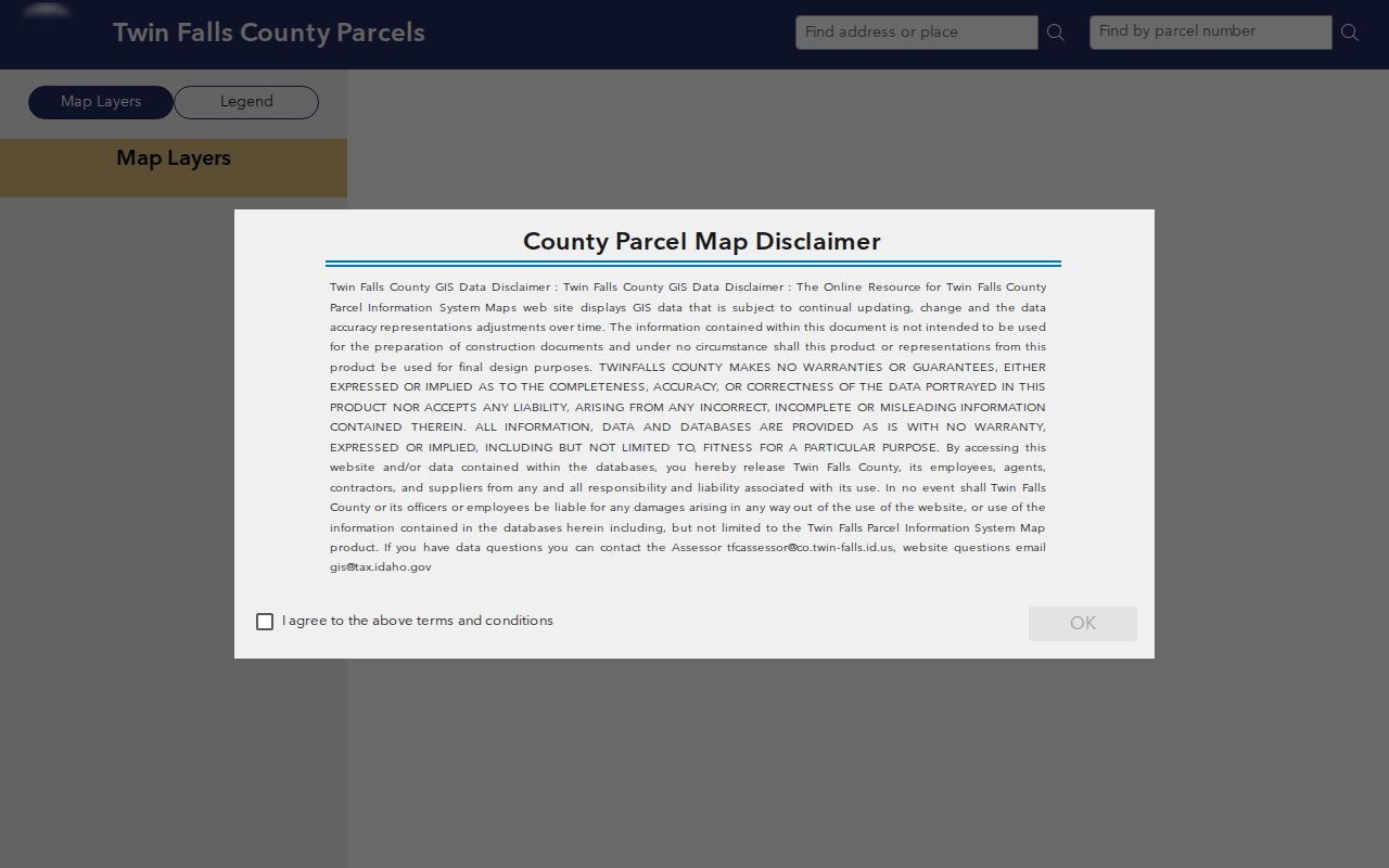
The screenshot reinforces the central limit: the map supplies parcel context, not a ready-made list of people.
Read Twin Falls Block Layers
Parcel geometry often explains why two close addresses do not share the same record trail. Turn on PLSS or subdivision context to read lot, block, and survey patterns. Flood, wells, soils, water-right, and taxing-district layers may add useful geographic facts. None identifies who lives on a parcel. An alley, condominium unit, large tract, or subdivision edge can make a near building a separate legal neighbor.
The city's street information adds local context. Twin Falls maintains streets, alleys, and rights-of-way, including 660 lane-miles and more than 270 winterized lane-miles. Shoshone and Canyon grades are useful landmarks when orienting an address. Missing street signs go to Public Works, but road maintenance facts should never be used as resident evidence.
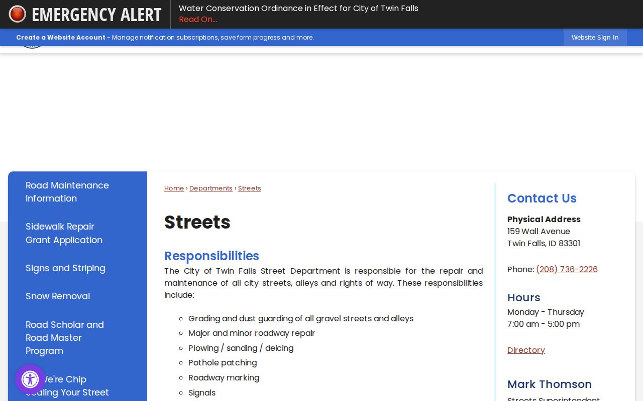
This city source helps place a block while the county parcel layer supplies the legal lot boundaries.
Check Twin Falls Block Permits
Cityworks can add a dated activity layer around a target address. Its permit dashboard exposes separate year views and can show case number, case type, subtype, status, location, accepted or issued dates, expiration, business or project label, coordinates, and related flags. Archived permit lists may also show owner, contractor, valuation, and fees. These facts describe work on a site, not everyone who used it.
The city building applications and addressing forms page provides the official form route.
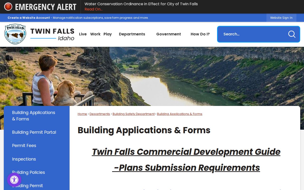
The forms give public address context but do not establish a private neighborhood roster.
Search the exact addresses copied from the parcel popups. Do not assume that a city permit layer covers a county parcel outside city limits. A county lot can appear in GIS while having no Cityworks record because the jurisdictions differ. This online-versus-office split is common in Twin Falls: parcel mapping is available on the web, while current recorded deeds still require the County Clerk or a defined records request.
Twin Falls Neighbor Voter Limits
Idaho voter files can supply public roll fields within a permitted geography, but the reviewed state form does not offer a simple block or street checkbox. It provides statewide, congressional, legislative, date, frequency, media, and report choices. County clerks also supply current precinct lists under Idaho Code §34-437. The request carries fees and a certification that bars use for advertising, offers, or solicitation.
Public data may include name, address, county, gender, age, optional phone, party, and participation yes or no. It does not include ballot choice, full birth date, Social Security fragments, registration-card signature, or protected addresses. The Twin Falls County Elections page is the local route for registration and precinct questions.
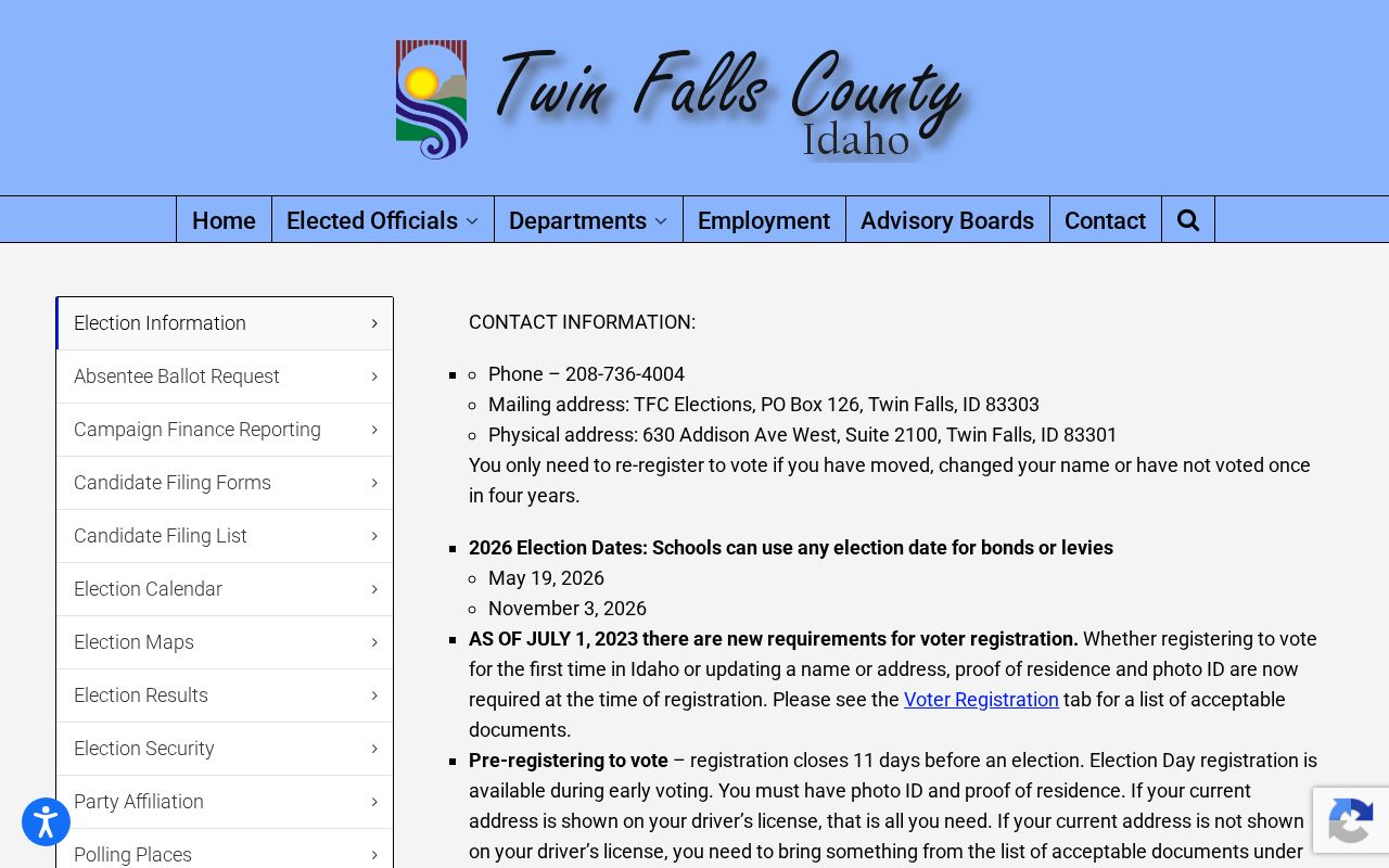
The county page provides the custodian route when the statewide form does not match a narrow block question.
Twin Falls Community Directory Gap
No official City of Twin Falls or Twin Falls County umbrella directory of neighborhood associations, HOAs, member households, congregations, or block-watch rosters was found. That gap matters. A subdivision name on a map does not prove that an association exists, and a public commission contact is not a private membership list. Do not invent group names or imply that private rosters are open.
City Clerk
Use for a defined public city record tied to minutes, ordinances, easements, or another named city record.
Planning and Zoning
Ask about subdivision, land-use, and public planning records, not private resident membership.
Public Works
Use for streets, alleys, signs, rights-of-way, and other public infrastructure facts.
Twin Falls Public Library
Search local newspapers, photos, old directories, and a defined neighborhood history question.
The city's Historic Preservation Commission and local historical resources can supply public meeting or neighborhood-history context. They still do not identify all current Twin Falls neighbors. A record request should state the exact address, subdivision, date range, and document type.
Twin Falls Blocks Since 1904
The original townsite gives older block research a distinct local frame. The first four blocks were platted in May 1904, fourteen more followed three months later, and by December the town covered one square mile with 164 blocks. Milner Dam opened in 1905, and the railroad arrived that July. Those fast changes explain why plat, newspaper, directory, and address sources cluster in the city's first years.
A verified 1970 criss-cross directory can reverse an address to a listed household for that year. Earlier Twin Falls city and county directory holdings begin in 1908–09, with selected runs held by the library, University of Idaho, and Idaho State Historical Society. Use the volume year and page with every name. An old listing is a historical neighbor clue, not evidence of who occupies the block now.
Compare Twin Falls Neighbor Tools
Commercial neighbor tools may blend public filings, marketing files, user material, and old addresses without telling the reader when each fact was collected. Official sources take more work, yet they provide a custodian, record date, parcel number, or case identifier that can be checked. That distinction is vital when two people share a name or an owner receives mail elsewhere.
| Source type | Strength | Key limit |
|---|---|---|
| County parcel map | Traceable parcel, legal, owner, and map context | Owner is not the same as occupant |
| City permit or map | Official address and project context | Not a household list |
| Voter file | Defined public fields and scope | Protected voters and nonvoters omitted |
| Commercial category | May combine many leads quickly | Can be stale, merged, or unclear about source dates |
For Twin Falls neighbors, slower parcel-by-parcel work produces a cleaner and more accountable block picture than a compiled profile.
Twin Falls Neighbor Privacy Lines
A block search cannot reliably show every household member, visitor, utility customer, delivery recipient, or unregistered person. Motor-vehicle address data is restricted by the federal DPPA. Idaho court records may be sealed or redacted under Rule 32. Voter files withhold protected data, and no public utility customer list was located. Lack of a public match must not be treated as proof that a person is absent.
Idaho's Address Confidentiality Program protects eligible survivors through a substitute mailing address, mail forwarding, and confidential voter treatment. Never compare nearby voter, parcel, or court entries to uncover a participant's physical location. If the concern is a bad parcel field or address, report it to the Assessor or the custodian rather than publishing a correction based on guesswork.
Lawful use. Search Twin Falls neighbors only for lawful civic or personal reasons. Stop before surveillance, repeated unwanted contact, threats, harassment, or exposure of a protected address.